
Meaningful survey
results made easy
About Us
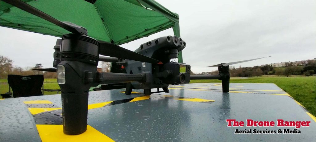
At The Drone Ranger Surveys, we specialize in high-precision aerial surveys using cutting-edge drone technology. From topographical mapping and land assessments, Long duration Traffic surveys & Car Park heatmaps to construction progress tracking and environmental monitoring & more, our expert team delivers accurate, cost-effective, and time-efficient data solutions. With a commitment to quality and innovation, we help businesses and professionals make informed decisions with confidence.
Precision Drone Surveys for Every Industry
Our team of experts combines innovation with unparalleled expertise.

Cameron Simmons
Media Director
Cameron specialises in Video Editing & IT, keeping us updated on the latest techniques & Software.
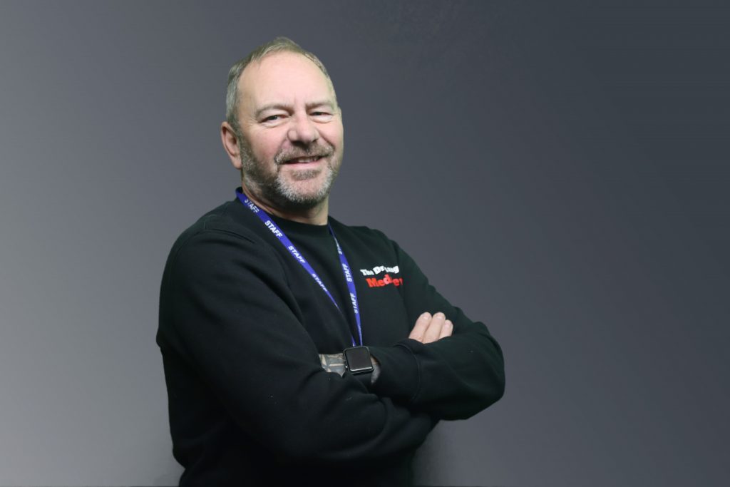
Richard Simmons
Managing Director
Richard is passionate about film making and Photography drawing on skills from over 25 years serving in the Fire service & construction Industry.
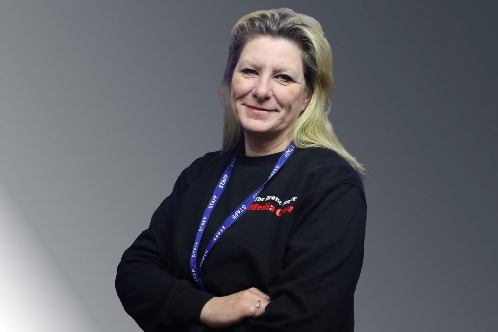
Gail Simmons
Marketing Director
Gail is key support for liaising with clients from enquiry through to job completion. Managing risk assessments & gaining flight permissions
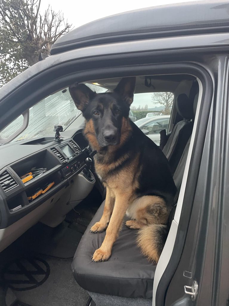
Argo
Wellfare Officer
Argo ensures that the whole team have frequent fresh air walks & he quite likes to join in on the odd zoom call.
Why People Use Us

All Weather Drones
We are equipped with the latest waterproof drones allowing us to operate in wind or raining conditions that other traditional drones would be unable to operate in.

Insured Professionals
We take health & Safety very very seriously and provide a risk assessment on every job and are insured upt £10 Million

CAA qualified Pilots
All our drone Pilots qualified to the highest training level the CAA provides.
10+ Combined Years Of Experience
Equipped with a large team we have over 10+ years working in the Drone & Survey industry
Nationwide Coverage
We work nationwide across the UK across multiple offices ensuring we can get the you the survey information you need