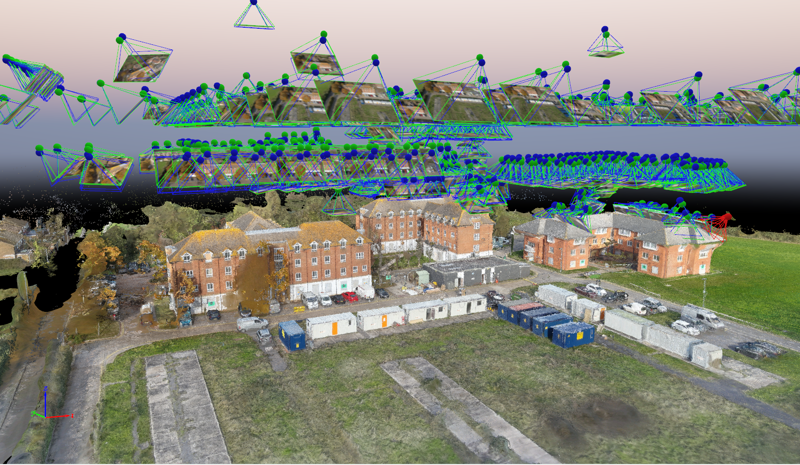
2D/3D Orthomosaic Surveys
Our 2D and 3D orthomosaic drone surveys create highly detailed, accurate aerial maps and models for precise site analysis, planning, and monitoring across various industries.
Mapping Surveys
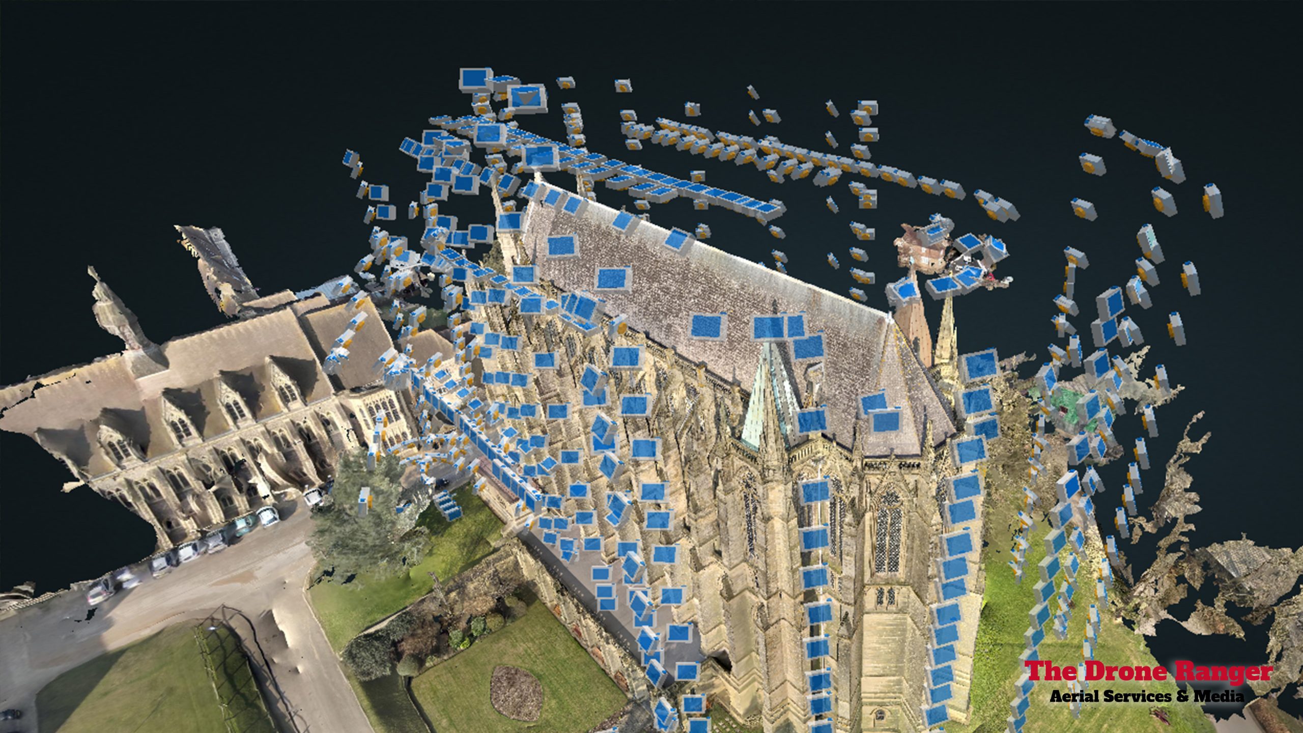
Our 2D and 3D orthomosaic drone surveys provide highly detailed, accurate, and georeferenced aerial maps for various applications, including construction, land development, agriculture, and asset management. Using advanced drone technology, we capture high-resolution images that are stitched together to create precise 2D orthomosaic maps and 3D models.
These surveys offer valuable insights into terrain, structures, and site conditions, helping with planning, monitoring, and analysis. With centimeter-level accuracy, our drone surveys eliminate the need for costly and time-consuming ground surveys, delivering fast, reliable, and data-rich results to support informed decision-making and project efficiency.
Why People Use Us

CAA Qualified Professionals
All our drone pilots are qualified to the highest training level the CAA provides, ensuring they meet strict safety and operational standards. This certification allows us to obtain the necessary permissions for complex airspace access, conduct thorough risk assessments, and operate drones safely and efficiently in challenging environments. With our expertise, we guarantee precise data collection, compliance with all regulations, and a professional approach to every inspection.

Nationwide Coverage
We operate nationwide across the UK, with multiple offices located to provide fast, efficient, and reliable drone survey services wherever you need them, ensuring we can deliver high-quality survey services without delays.

Health & Safety & Insurance
We take health and safety extremely seriously, conducting a thorough risk assessment for every job to ensure a safe working environment. We are fully insured up to £10 million and compliant with all industry regulations.

10+ Combined Years Of Experience
Equipped with a large and highly skilled team, we bring over 10 years of experience in the drone and survey industry, delivering expert aerial inspections, thermal imaging, and data analysis for a wide range of sectors.

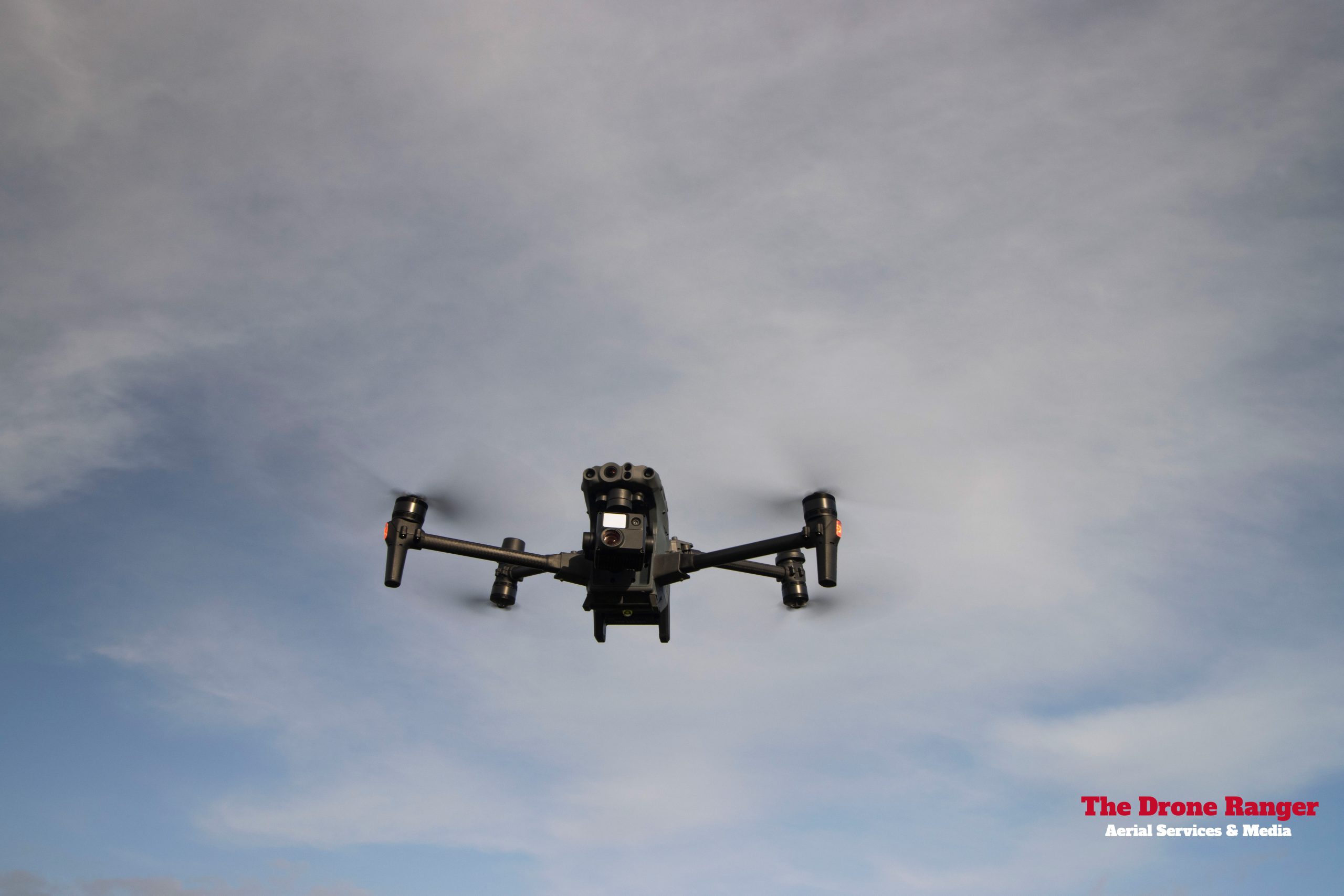
All Weather Drones
We are equipped with the latest waterproof drones, specifically designed to withstand harsh weather conditions, including heavy rain, strong winds, and high humidity. Unlike traditional drones that are grounded in adverse weather, our robust UAVs can continue operating safely, ensuring uninterrupted inspections and surveys even in challenging environments. This capability allows us to provide reliable data collection year-round & minimizing project delays.